Know where every truck is right now.
Sub-second location updates, a centralized live dashboard, and instant alerts. See plows, mowers, and lifts on one map so the same fleet stays visible every season.
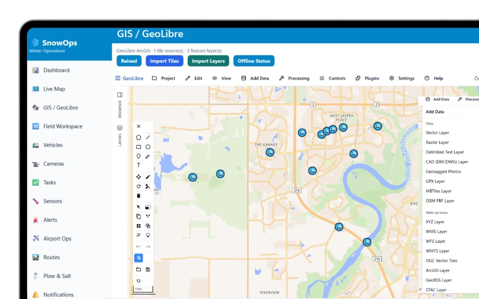
Sub-second updates, not 5-15 minute delays
Legacy winter-ops systems often lag 5-15 minutes between a vehicle's actual position and what the dispatcher sees. SnowOps streams positions over SignalR/WebSocket so the map, the status feed, and the dashboard all reflect reality as it happens.
Live vehicle map
Location, speed, and heading with operational-status indicators - plowing, salting, idle, returning.
High-frequency GPS ingestion
Positions land in PostGIS + TimescaleDB, a time-series-optimized store built for high-throughput tracking.
Historical playback
Replay any vehicle's trace for post-event analysis, audits, and dispute resolution.
Geofence alerts
Route deviation, restricted-zone entry, and equipment-malfunction notifications the moment they happen.
Built on an open tracking pipeline
The iOS, Android, or Windows app can send vehicle position with no AVL required. Optional providers - Traccar, Geotab, Samsara, GTFS-Realtime, OGC Moving Features - share the same live map and SignalR feed.
Proof point
Target response time under 15 minutes vs. a 30-45 minute baseline - a 40-60% reduction.
Live status, at a glance
Watch your fleet move in real time
See the live dashboard, geofence alerts, and historical playback on your own routes.
Request a demo →